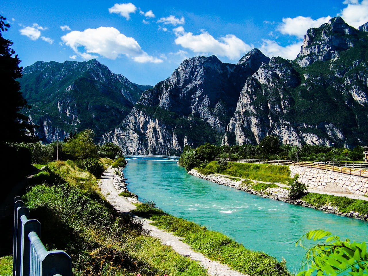
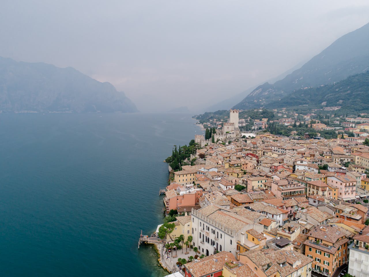
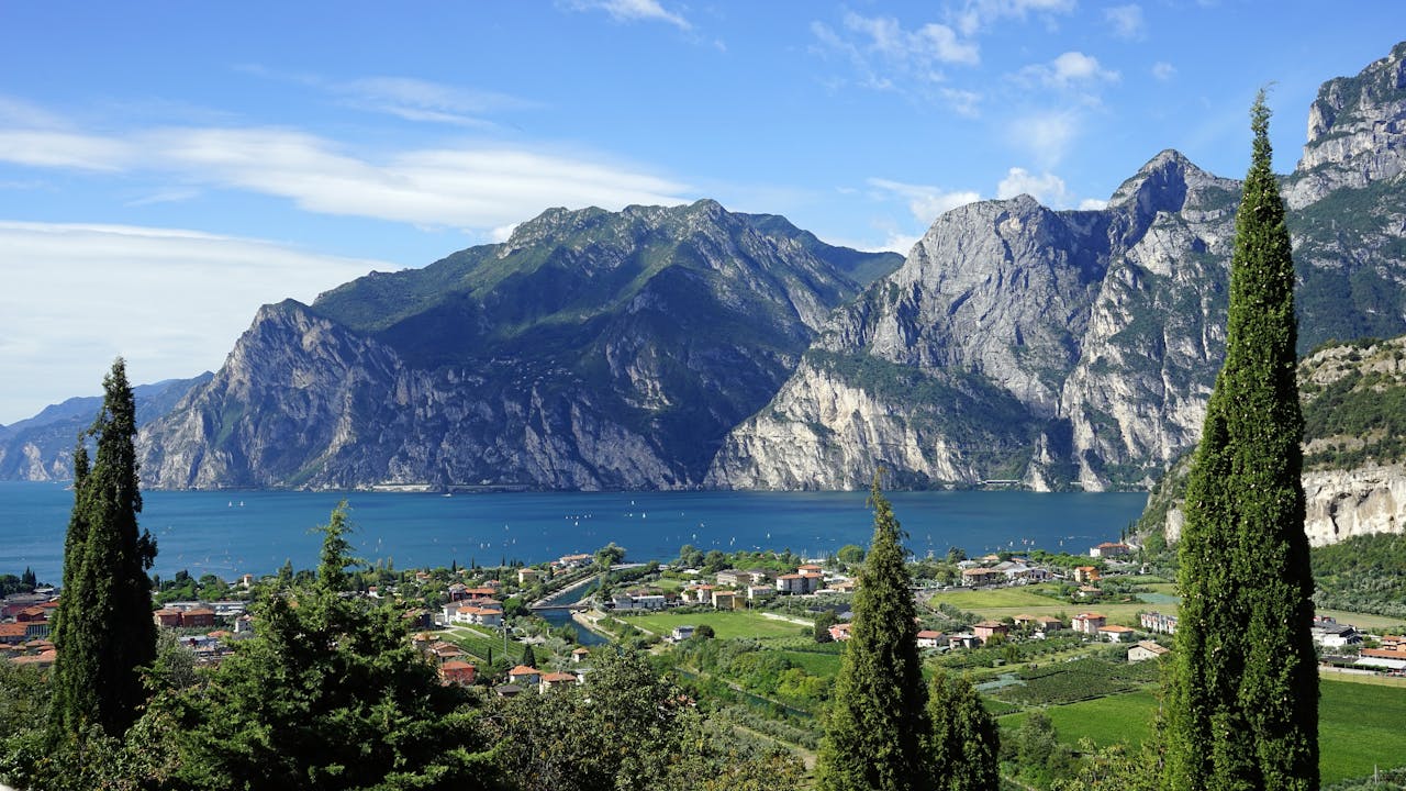
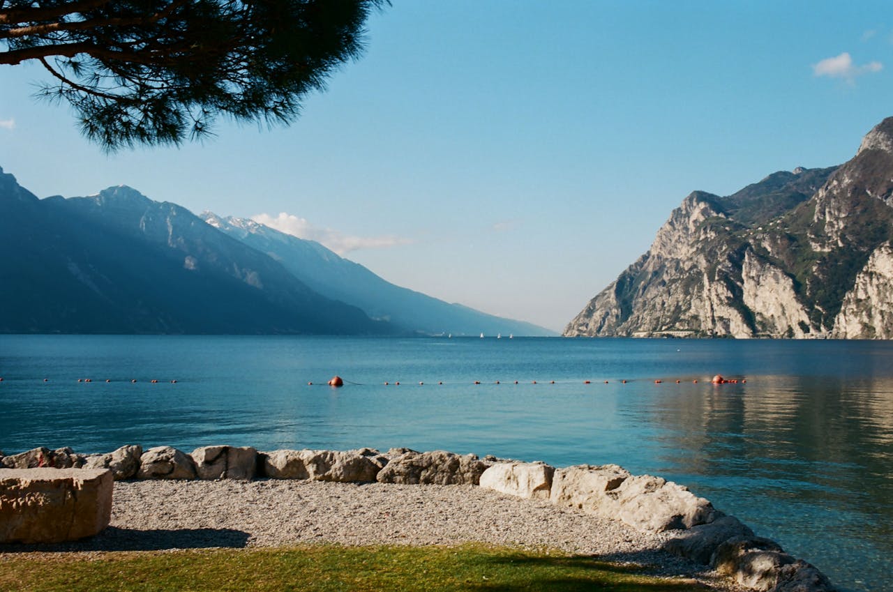
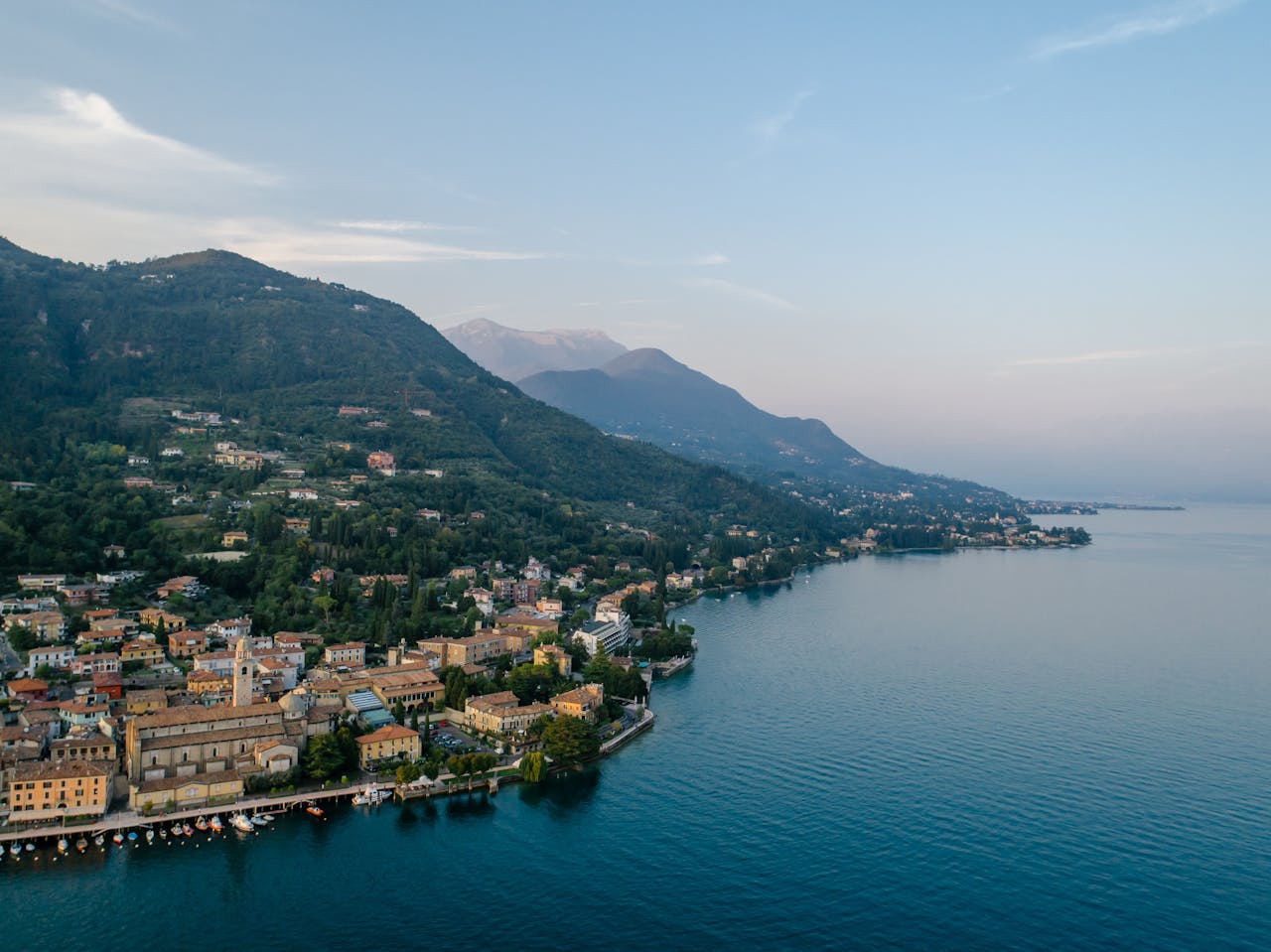
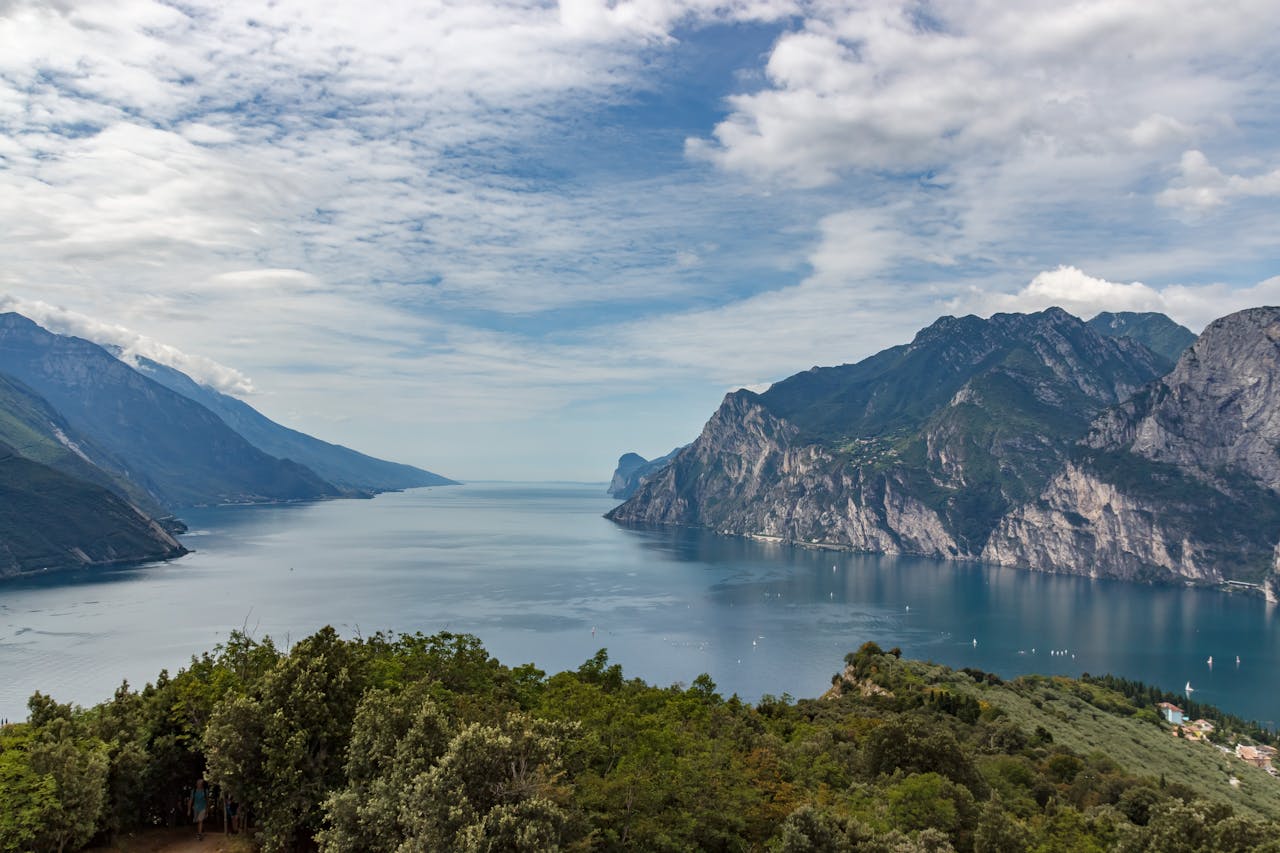
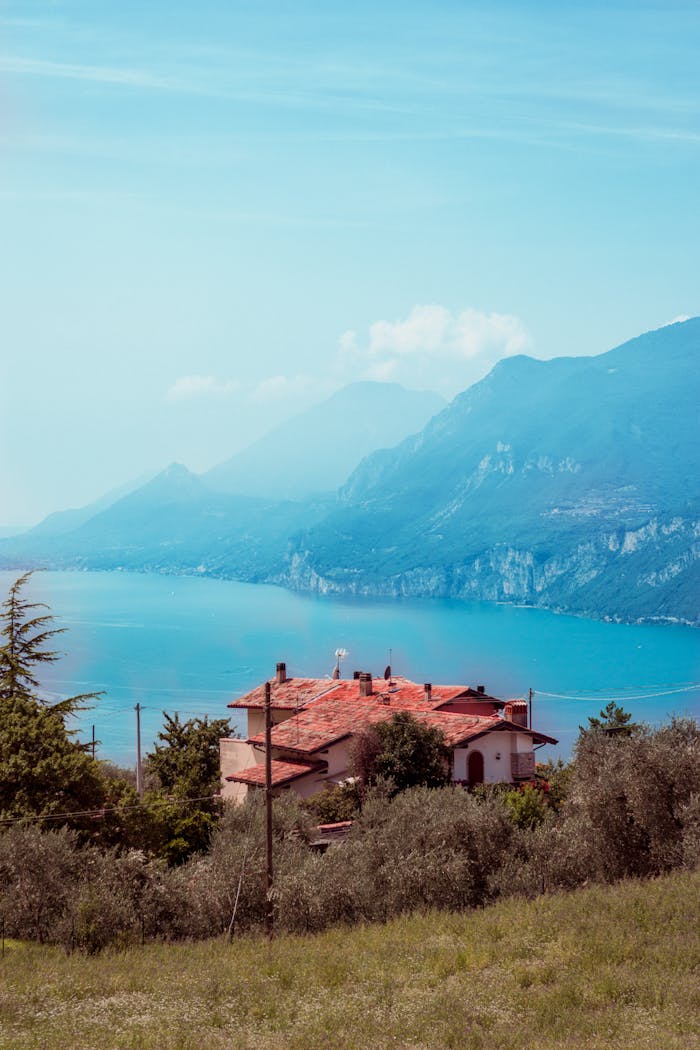
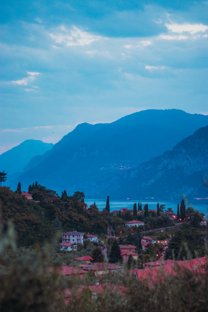
Lake Garda is a walking lake first and a beach lake second. The north end, where the cliffs drop straight into the water at Riva and Torbole, has the big-ticket paths: old military roads carved into rock, a steel staircase up a cliff, and a cable car that lifts you to a 2,000-metre ridge in ten minutes. The east shore is gentler, with lakefront paths, olive terraces and abandoned hamlets on Monte Baldo’s lower slopes. The west shore hides its walks in gorges and on plateaus a few hundred metres above the road, and the south has one proper headland, the Rocca di Manerba, that repays an afternoon.
We have walked every route here, most of them in more than one season, and the details (distance, ascent, time) are our own measurements rounded sensibly rather than copied from a sign. The list is ordered by how strongly we would push you to do the walk if you had only one day: the top three are the classics, the rest are the ones we choose when we want fewer people.
Some booking links on this page are affiliate links: if you book through one we may earn a small commission, at no extra cost to you. It never changes what we recommend or the order of the list. How we choose
1Our top pick
Best for the classic Garda view
#1 Sentiero del Ponale
96/100
Riva del Garda · Starts on the Gardesana west of Riva del Garda harbour
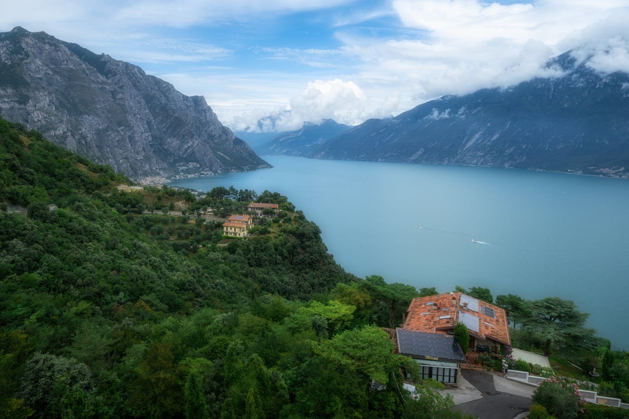
The old road to Lake Ledro, blasted into the cliff above Riva del Garda in the 1850s and now a wide gravel path shared with cyclists. It climbs steadily from the Gardesana tunnel entrance just west of Riva’s harbour, through rock galleries and past wartime gun positions, with the whole lake unrolling below. Most people go as far as the viewpoint bar at the Ledro junction and turn round (6 km return, 250 m of ascent, 2 hours); continuing to the village of Pregasina makes it 10 km and 450 m and about 3.5 hours. It starts on foot from the town, which our guide to Riva del Garda covers.
Torbole sul Garda · Parco Busatte, 2 km north-east of Torbole, to Tempesta
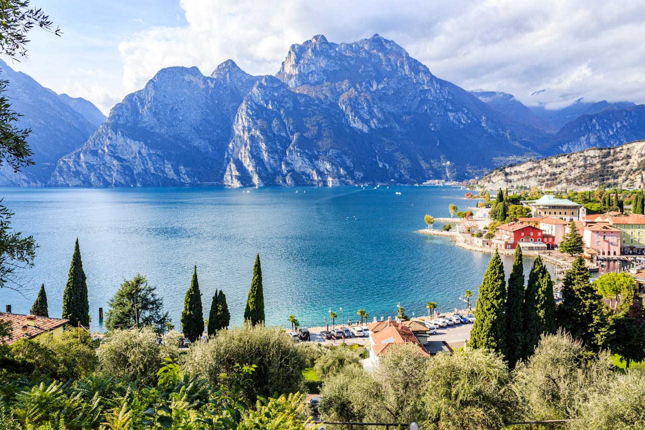
A 4 km path along the cliffs north of Torbole that solves the problem of vertical rock with around 400 steel steps bolted to the cliff face. It runs from the Busatte adventure park above Torbole south to Tempesta on the Gardesana, with about 200 m of ascent and descent in total and views straight down onto the water for most of the way. Allow 90 minutes to two hours, then catch the bus back from Tempesta or walk the shore path. Read our guide to Torbole for the start point and bus times.
Malcesine · Top station of the Malcesine–Monte Baldo cable car
€€€€
The rotating cable car from Malcesine takes you from lake level to 1,760 m in about ten minutes (return fare roughly €22–28 in 2027). From the top station a well-marked path follows the ridge south towards Cima delle Pozzette at 2,132 m: about 3.5 km each way with 400 m of ascent, so three hours there and back at an easy pace, with the lake on one side and the Adige valley on the other. Go early for the last cabin down, which is usually mid to late afternoon. Our guide to Malcesine explains how to beat the cable car queue.
Manerba del Garda · Parco della Rocca di Manerba car park, above Pisenze
The Rocca is a limestone headland that juts into the lake between Manerba and San Felice, protected as a nature reserve with a small archaeological museum at the car park. The signed loop takes in the ruined castle on the summit (218 m), the cliff-edge path above the Sasso coves and a return through olive groves and scrub: about 5 km, 150 m of ascent and 1.5–2 hours at a wander. The view south to Sirmione and north up the whole lake is the reward for very little effort. Our guide to Manerba del Garda covers the beaches you pass on the way.
Riva del Garda · Pregasina, above the Ponale road south-west of Riva
Punta Larici is a grassy ledge at about 900 m on the mountain between Riva and Limone, and the photograph from it, with the lake stretching away south between two walls of rock, is probably the most reproduced view of Garda. From the village of Pregasina it is a steady forest track and then a steeper path: roughly 3 km each way, 350 m of ascent and 2–2.5 hours return. Pregasina is a 15-minute drive from Riva, or the end of the Ponale walk if you are feeling strong. Combine it with our Ponale bike ride if you would rather cycle up.
Bardolino · Bardolino harbour to Punta San Vigilio via Garda
The eastern shore has a continuous promenade from Bardolino through Garda to the headland at Punta San Vigilio, and it is the best easy walk on the lake: 6 km one way, dead flat, 1.5 hours with stops for gelato, ending at the cypress-lined lane down to the old harbour and the Baia delle Sirene beach. You pass the old fishing port at Garda halfway, which is where most people break for lunch. The ferry or the ATV bus brings you back. Start with our guide to Bardolino and read about the headland in our guide to Garda.
Pieve di Tremosine sits on the lip of a 350-metre cliff above the west shore, and the easy walk that links its terraces is one of the lake’s great cheap thrills. From the church square, follow the balcony paths past the famous glass-floored Terrazza del Brivido to the viewpoint where the Strada della Forra emerges from the Brasa gorge, then loop back through the lanes: 3–4 km with about 150 m of ups and downs, an hour and a half at most. Serious walkers can drop into the gorge itself on the marked path towards Campione. The village and its road are in our guide to Tremosine sul Garda.
What we love
3–4 km, 150 m of ascent, 1–1.5 hours
Terrazza del Brivido and the Forra gorge viewpoint
Toscolano Maderno · Toscolano Maderno, from the car park at the mouth of the valley
€€€€
Behind Toscolano Maderno a narrow gorge climbs inland past the ruins of the paper mills that made this valley one of Europe’s great paper centres from the 1400s. A gravel road follows the stream through short tunnels to the Museo della Carta at Maina Inferiore, where you can see paper being made by hand: about 2.5 km each way, 100 m of ascent and two hours with the museum. It is almost entirely in shade, which makes it the walk we save for the hottest days. Our guide to Toscolano Maderno has the museum hours and the beach afterwards.
What we love
5 km return, 100 m ascent, 2 hours with the museum
Riva del Garda · Between Riva del Garda and Torbole, start from Porto San Nicolò
The long whaleback hill between Riva and Torbole is only 376 m high, but it stands alone at the head of the lake, so the summit path along its crest gives you Riva on one side, Torbole and the Sarca plain on the other and the lake straight ahead. A loop from the Riva side past the Austrian forts from the First World War is about 6 km with 300 m of ascent, two hours at a stroll, and it is the walk we do on arrival evenings. The path is signed as the Sentiero della Pace. You can equally start from the Torbole side; our guide to Torbole has the harbour end.
Campo is a medieval hamlet of stone houses and a frescoed church that was abandoned in the twentieth century and is slowly being brought back to life by volunteers. The mule track from Castelletto di Brenzone climbs through olive terraces for about 2.5 km and 300 m of ascent, an hour up and forty minutes down, with the lake widening below you at every bend. There is a small seasonal bar in the village and the church of San Pietro in Vincoli is usually open. Read our guide to Brenzone sul Garda for the other hamlets along this stretch of shore.
What is the best walk on Lake Garda for a first visit?
The Sentiero del Ponale above Riva del Garda. It has the widest path, the gentlest gradient and the best view for the effort, and you can walk it from the town without a car. Go early, turn round at the viewpoint bar if you want an easy two hours, and keep the Busatte–Tempesta path for a second day if you enjoyed the drops.
Do I need proper hiking boots?
Not for most of this list. Trail shoes or sturdy trainers cope with the Ponale, the lakefront walks and the Rocca di Manerba. We would wear boots for the Monte Baldo ridge, where the path is rocky and there can be snow into May, and for Punta Larici after rain. Everywhere you want water, a hat and a layer for the ridge.
Can I do these walks without a car?
Most of them. The Ponale, Monte Brione, Busatte–Tempesta and the Baldo cable car all start from towns served by bus and ferry, and the Bardolino to Punta San Vigilio promenade is walkable from any eastern-shore base. Tremosine, Pregasina and Campo di Brenzone are easier with a car, though the ATV bus stops at Castelletto di Brenzone on its way up the shore.
When is the best time of year for walking?
April to June and mid-September to October. Spring brings wildflowers on the Rocca di Manerba and cool mornings on the Ponale; autumn brings clear air and empty paths. July and August are hot at lake level, so walk early or go high on Monte Baldo, where it is 10°C cooler. The cable car and low paths run all year, but the ridge is snowbound in winter.
Are the walks suitable for children?
The Bardolino lakefront, Valle delle Cartiere, Monte Brione and the Rocca loop are all fine for children who can walk a couple of hours. The Ponale is wide and safe but shared with bikes. Busatte–Tempesta and Punta Larici have unfenced drops we would avoid with small children. Families in the south can pair the Rocca with the beaches in our pick of the best Lake Garda beaches.
Which is better for walking, the north or the south of the lake?
The north, without question, if you want mountains: Riva del Garda and Torbole have three of our top five within walking distance of their harbours. The south is flatter and better for strolls, lakefront promenades and a headland or two. If you split your stay, base yourself in the north for the walks and in the south for the towns and wine.
Is the Monte Baldo cable car worth the price?
Yes, if you walk when you get up there. A return fare of roughly €22–28 buys you a ten-minute ride to 1,760 m and a ridge path with views over the lake and the Adige valley that would otherwise take a full day of climbing. Book online for an early slot in summer, when the queue in Malcesine can stretch to an hour by mid-morning.
Are the walks well signed?
The main routes are. The Ponale, Busatte–Tempesta and the Baldo ridge are signed as numbered paths with red and white waymarks, and the Rocca di Manerba has boards at every junction. Smaller paths on the west shore around Tremosine and above Brenzone can be patchier, so download an offline map before you set off, as phone signal drops in the gorges.
Where can I walk and then swim afterwards?
Almost everywhere on this list ends near water. The Rocca di Manerba loop drops you at the Pisenze coves, Monte Brione and the Ponale finish a few minutes from Riva's Sabbioni beach, the Bardolino promenade ends at Baia delle Sirene and Campo di Brenzone comes down to the lakefront at Castelletto. Only the Baldo ridge and Tremosine need a drive down to the shore afterwards.

 Our top pick