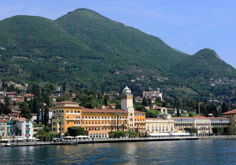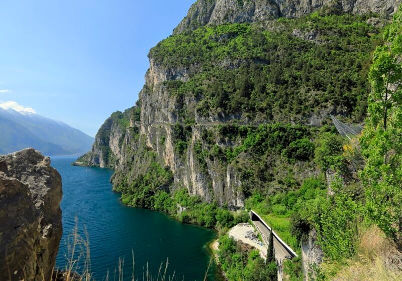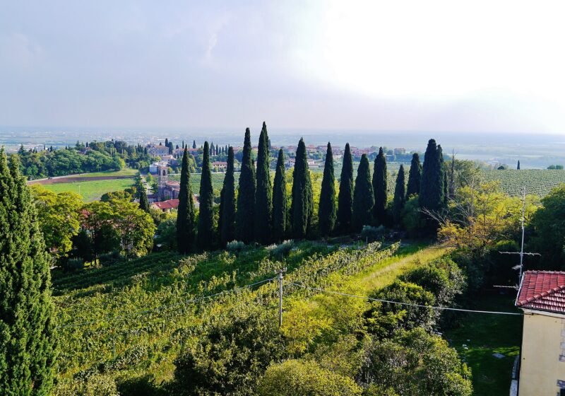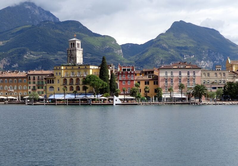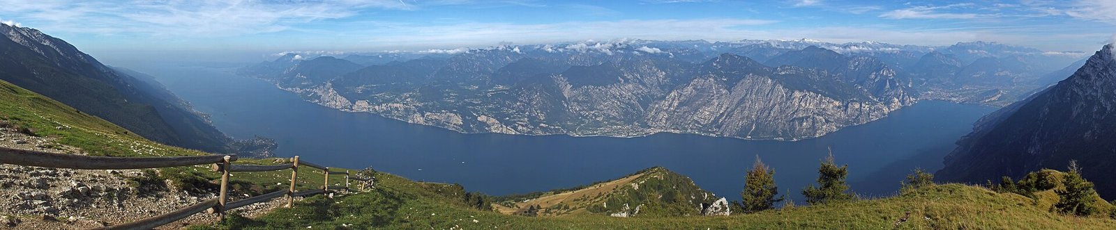
Lake Garda and the mountains of its western shore, seen from the grassy slopes of Monte Baldo

Lake Garda · Italy

Where to stay and what to do on Lake Garda

Town-by-town guides and ranked lists from Alex and Nicole, who pay their own way, go back to check, and tell you which places they have been to.

Size
52 km long, Italy's largest lake
Regions
Veneto, Lombardy, Trentino
Nearest airport
Verona, 30 minutes from the south shore
Best time
May–June, September–October
How long
4–7 days from one base

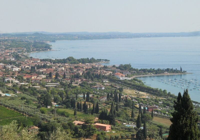
Lake Garda is really three lakes. The south is wide, shallow and warm, with Lugana vineyards, a train line and the moated peninsula of Sirmione. The middle narrows between olive groves on the eastern shore and cliffs on the western, where the lemon houses of Limone and Gargnano hang over the water. The north is a fjord: mountains straight out of the lake, a southerly wind, the Ora, that gets up around midday on fine days and blows until sunset, and Riva and Torbole full of windsurfers and climbers. Choose the wrong shore for the trip you want and you will spend your holiday on the Gardesana road.

This site is written by the two of us, Alex (from the UK) and Nicole (from Lombardy). Every ranked list says at the top whether it comes from our own visits (Tried & Tested) or from research checked against official sources, and we re-check the lists each season. Everything is ordered the way we would tell a friend, not by who pays. Start with the shore that suits you, then the town, then our ranked guides for where to eat, swim and sleep.

Each shore has its own region, its own wine and its own pace. This is how we would choose.

Eastern shore · Veneto

Flat, sunny and easy

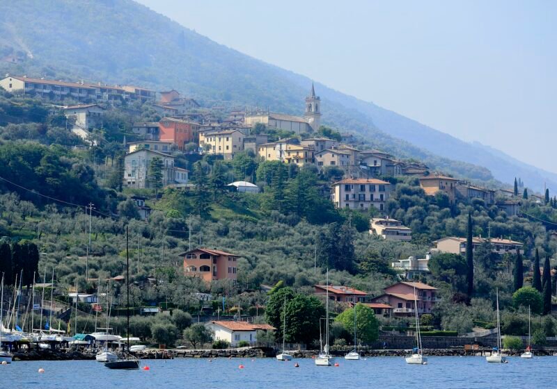
The Riviera degli Olivi runs from Lazise up to Malcesine: a lakefront cycle path, pebble beaches with lawns behind them, Bardolino wine and more ferry stops than anywhere else on the lake. It is where we send first-timers and families. Lazise or Bardolino for an easy base, Garda for the walk to Punta San Vigilio, Malcesine for the castle and the cable car to 1,760 m on Monte Baldo.
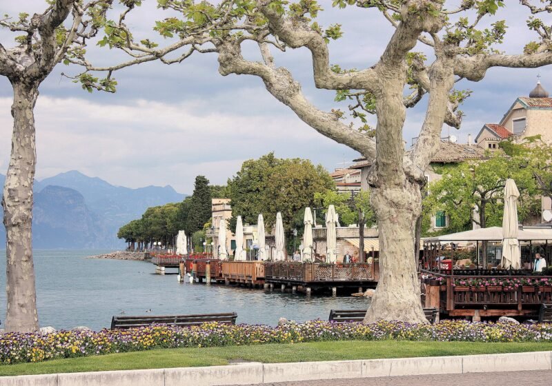
Western shore · Lombardy

Cliffs, lemon houses and grand villas

Steeper, quieter and more expensive to drive. Salò has the longest lakefront and the best shopping, Gardone Riviera has the Vittoriale and the gardens, then the road tunnels north past Gargnano's lemon houses to Limone. Tignale and Tremosine sit 400–500 m above the water on plateaus with the widest views on the lake. South of Salò, the Valtenesi hills are Chiaretto rosé country, with Manerba's headland and Moniga's beaches below them.

Northern tip · Trentino

Mountains in the water

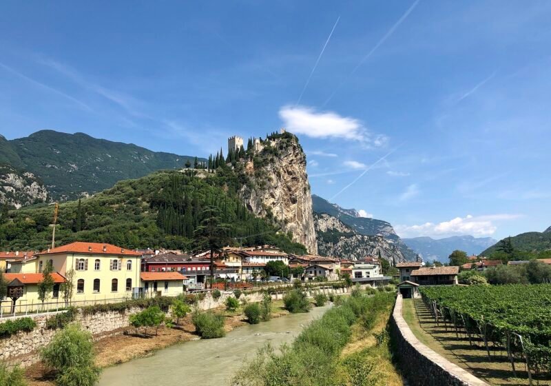
Riva del Garda and Torbole face each other across the top of the lake, with Arco's castle and climbing crags ten minutes inland and Lake Tenno in the hills above. This is the active end: the Ponale path, windsurfing on the afternoon Ora, mountain-bike trails and the clearest swimming. Cooler evenings, Habsburg-era architecture, and the longest ferry ride to the south.

Every guide is a numbered list we would hand to a friend: strongest first, re-checked each season, and places drop off when standards slip.

Who writes this

Two of us, and we tell you how we know

Alex is the visitor, Nicole is the local. We pay our own way, nobody can buy a place on a list, and we go back every year to check the lists are still right. Nothing here is sponsored, and every list is labelled with whether we have been to every place on it or researched it.

How we choose, and how the site pays for itself

Plan by the kind of trip

A first visit

Base yourself on the eastern shore between Lazise and Garda: flat, walkable, ferries to Sirmione and Malcesine, and Verona 30 minutes away. Our guide to Bardolino is the place to start, and the holidays guide compares ten ways to do the lake.

Walking and cycling

Riva, Torbole and Arco for the Ponale ledge and the crags, Malcesine for the Monte Baldo cable car, Limone for the cycle path bolted to the cliff. Our walks and bike rides guides list distance, ascent and time for each route.

Peace and quiet

Gargnano, Tignale and Tremosine on the western shore, the stone hamlets of Magasa and Valvestino above them, and Brenzone's fishing villages on the east. All are cheaper than the lakefront resorts, and none needs a booking in June.

When to go

April–May
Cool water, ferries on a reduced timetable until the full summer service starts in mid-May, wisteria on the lakefronts. Quiet outside Easter week and the 25 April and 1 May long weekends.
June Our pick
Warm enough to swim, long evenings, and the roads still move. Our favourite month.
July–August
Hot, full, and slow on the Gardesana. Ferragosto on 15 August is the peak: book beds and restaurants ahead and get to Sirmione before 10am.
September–October Our pick
The lake holds its warmth, the vineyards are picking, and the crowds thin from the second week of September. A close second to June. Ferries and lidos wind down through October.
November–March
Many hotels and lidos close, and from early November to mid-March the only boat on the lake is the Torri–Maderno car ferry, but the lakefronts are empty and the walking is at its best. Riva and Arco run Christmas markets from mid-November to Epiphany.

Getting to Lake Garda

By plane: Verona Villafranca is the closest airport for most of the lake, about 20 km from Peschiera. Bergamo is about an hour by car from Desenzano and a little more to Salò. Milan Linate is about 125 km from Desenzano, Malpensa about 165 km, and Venice Marco Polo about 145 km from Peschiera. Our airports guide compares all eight, with the bus and train connections from each.

By train: Desenzano del Garda–Sirmione and Peschiera del Garda are on the Milan–Venice line, with fast trains from Milan in about an hour and from Venice in about 90 minutes. For the north, take a train to Rovereto and the bus down to Riva del Garda. Our train guide has times and fares from Milan, Venice and Verona.

By car: The A4 Milan–Venice motorway has exits at Desenzano, Sirmione and Peschiera for the south shore. The A22 Brenner motorway serves the eastern shore (exit Affi) and the north (exit Rovereto Sud). The lakeside Gardesana road is slow in summer, especially through the tunnels on the west.

By boat: From mid-March to the start of November, Navigazione Laghi ferries link almost every town, with fast services the length of the lake in high season. The car ferry between Torri del Benaco and Toscolano Maderno is the only vehicle crossing and runs every day except Christmas Day; Limone to Malcesine is passengers only. Our ferry guide has the routes, fares and timetables.

Good to know

Which side of Lake Garda is best?

The eastern shore for a first visit and for families, the south if you are coming by train, the west for quiet and grand villas, the north for walking, climbing and windsurfing. Nowhere on the lake is far from anywhere else by ferry, so pick the shore that suits how you want to spend your days and treat the rest as day trips. All the towns, grouped by shore.

How many days do you need on Lake Garda?

Four days covers one shore properly; a week lets you add a day in Verona and a boat day to the far end. We would not try to see the whole lake in a weekend. Pick one base rather than moving hotels: the Gardesana road and the ferry timetable eat more time than the map suggests. Our holidays guide has ten itineraries to copy.

Can you visit Lake Garda without a car?

Yes, and it is often easier. Take a train to Peschiera or Desenzano, then use the ferries and the eastern shore buses. Malcesine, Limone, Sirmione and Riva all work car-free, and you avoid the summer parking that fills by mid-morning. A car only becomes useful for the hill villages and the Valtenesi vineyards.

Which town is best for families?

Lazise and Peschiera for the beaches, the cycle path and Gardaland ten minutes away, Bardolino for a slightly quieter version of the same, Riva del Garda for the north. Sirmione and the western cliff villages are lovely to visit but harder work with a pushchair or a car full of beach kit.

Can you swim in Lake Garda?

Yes, from June to September the lake reaches 20–25°C and the water is clear enough to see your feet in three metres. The beaches are pebble rather than sand, so bring water shoes. The south is shallowest and warmest, the north is coldest and clearest, and free public beaches exist in every town. Our beaches guide ranks the ten we swim at every summer.

Which airport is closest to Lake Garda?

Verona Villafranca, about 20 km from Peschiera, and the best choice for the eastern and southern shores. Bergamo suits the western shore, and Milan and Venice both work with a train to Desenzano or Peschiera. For Riva and the north Verona is closer as well: about 85 km by road, against about 2 hours 10 minutes' drive without traffic from Bergamo. Our airports guide ranks all eight.

Sirmione or Malcesine?

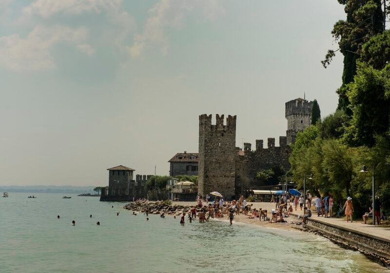
Both have a Scaliger castle on the water; they suit different trips. Sirmione is the day trip: the Roman villa, the thermal water and the lanes are best seen before 10am or after 5pm, and it is a short hop from the south shore. Malcesine is the better base: the cable car, the ferries to Limone and a lively old town that stays open in the evening.

Is Lake Garda expensive?

It can be, on the lakefront in July and August. Away from the water and outside those months it is good value: a trattoria lunch is €15–25, a ferry hop a few euros, most beaches and every lakefront walk are free. The western shore and Sirmione cost the most; the hill villages and Brenzone the least. Our hotels guide has a few lake-view rooms without the grand-hotel price.

Scroll to Top